Tel Aviv train map
You can find on this page the Tel Aviv trains map to print and to download in PDF. The Tel Aviv trains map presents the rail network and railway stations of the trains of Tel Aviv in Israel.
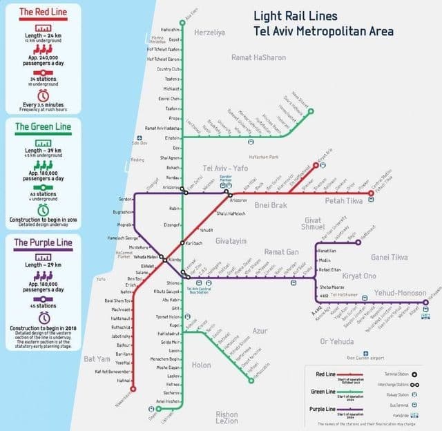
Tel Aviv rail map
The Tel Aviv rails map shows all the railway stations and lines of Tel Aviv trains. This railway map of Tel Aviv will allow you to easily plan your route with the trains of Tel Aviv in Israel. The Tel Aviv rails map is downloadable in PDF, printable and free.
Tel Aviv has four train stations along the Ayalon Highway. The stops are from north to south: Tel Aviv University , Tel Aviv Savidor Central , Tel Aviv HaShalom (near Azrieli Center shopping mall) and Tel Aviv HaHagana (near the central bus station ) as you can see in Tel Aviv rail map. It is estimated that more than a million people travel by train from the surrounding cities to Tel Aviv each month. Since the completion of the Ayalon Highway railway section in 1995, Tel Aviv has been the central hub for rail transport in Israel. The Savidor Central Railway Station alone handled approximately 38,000 passengers a day in summer 2009. Railway lines from Tel Aviv include Israel Railways main line, running from Beersheba to Nahariya , as well as lines to Ashkelon , Modi’in , Rishon LeTziyon , Kfar Sava and Jerusalem . A faster line to Ashkelon via Bat Yam / Holonis under construction. Most trains stop at all stations in Tel Aviv, except for some trains to and from Be’er Sheva that do not reach Tel Aviv University and night trains that only stop at Tel Aviv Savidor Central. All stations of Israel Railways, other than Dimona, are directly reachable from Tel Aviv.